Al-Marsous Mountain - Black Desert
Al-Marsous Mountain - Black Desert
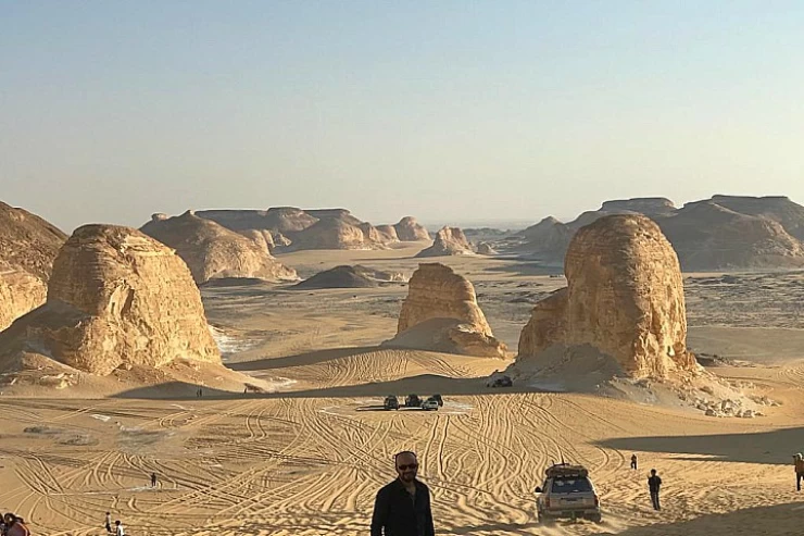
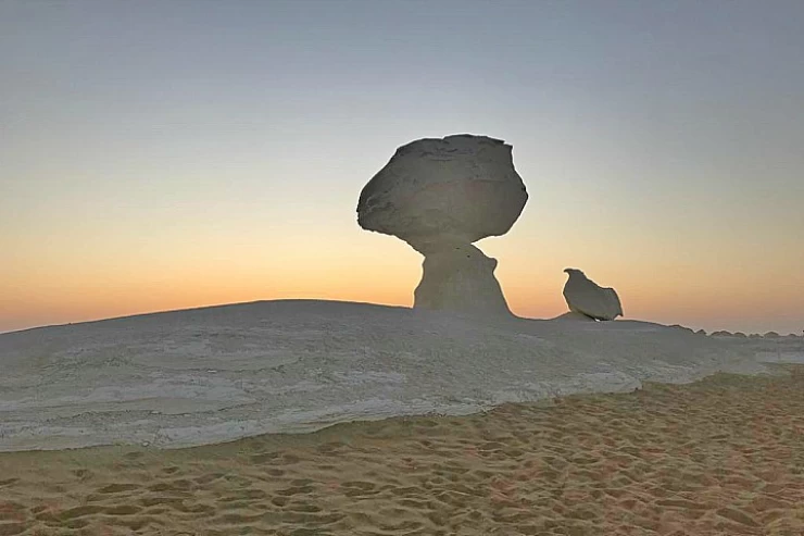
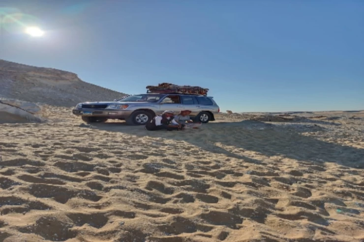
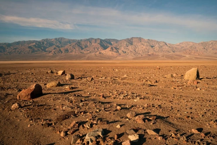
The Black Desert is situated within the Western Desert between Bahariya and Farafra Oases, running from south of Al-Bawiti town for about 70 km towards Farafra and a little bit north of White Desert, because it is nearer to Bahariya oases than Farafra oasis.
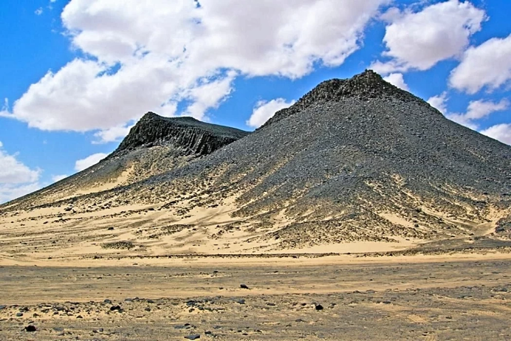
The Black Desert was named so due to the rich layer of black powder that coats the mountains, plateaus and even the sands as a result of weathering and erosion of ancient rocks for ages. Though the Jurassic rocks are not visible much in this region after the Cretaceous rocks, which of the hills are present and vary in size, structure, height and shape, consist of hills of basalt, dolorite, iron quartzite, iron sandstone and numerous iron oxides.
One of the most noteworthy mountains in the Black Desert region is Al-Marsous Mountain, which is a cratertype mountain made of sandstone full of basaltic pillars that are arranged in a column stacked formation which the residents of the Bahariya Oasis fondly call Al-Marsous Mountain, which sits on an approximately two square kilometers area and the last one in the Black Desert when the tourists scaled it for the purpose of capturing the entire Black Desert in a single shot from its peak called the Panorama Mountain, as well as the English Mountain, which is placed in between Mendisha village and Al-Bawiti city and also English mountain, found situated between Mandisha village and Al Bawiti town.
Geological research indicates that as a result of an ancient volcanic eruption, the mountain was formed through the processes of escalation of volcanic magma from underground and the formation of layers of volcanic rocks over the ages, it is believed that the date of its formation dates back hundreds of thousands of years ago, and may be related to the volcanic activity that the region witnessed in that period.
Al Marsus Mountain can be found in the Black Desert region of Egypt which is characterized by a volcanic rocky landscape.
The Black Desert is a natural park where a lot of tourists, archaeologists and geologists come, as the region is full of well-formed volcanic rocks and has good landscapes that make it easy for tourists to interact with extenuating natural features.
Geologically, Al-Marsous Mountain holds enormous significance as it serves as a case study of the past volcanic activities that the area has experienced. The volcanics present in the mountain, include rocks that date back to the formation of the earth, and the study of these rocks could help in understanding the formation processes of volcanoes, as well as the geological configuration that led to the development of the Black Desert.
The Black Desert in Egypt is another region that exhibits a high level of biodiversity due to the presence of a number of flora and fauna, where many plants and animals can be observed including desert-dwelling animals like foxes, hyenas, coyotes, deers, and rabbits as well as palms, acacias, and ferns.
Latest Articles
Admin
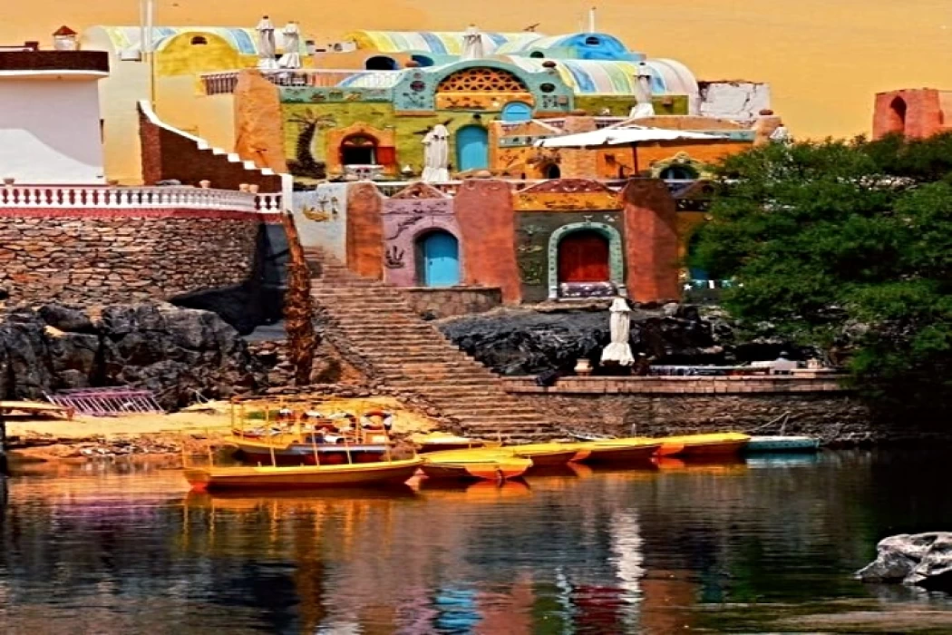
Aswan Governerate in Egypt
One of Egypt's southern governorates is Aswan Governorate. The city of Aswan serves as its capital. At a latitude of 22 north of the equator (also known as the Tropic of Cancer), it is bounded to the north by the Qena Governorate, to the east by the Red Sea Governorate, to the west by the New Valley Governorate, and to the south by the Republic of Sudan.
Admin
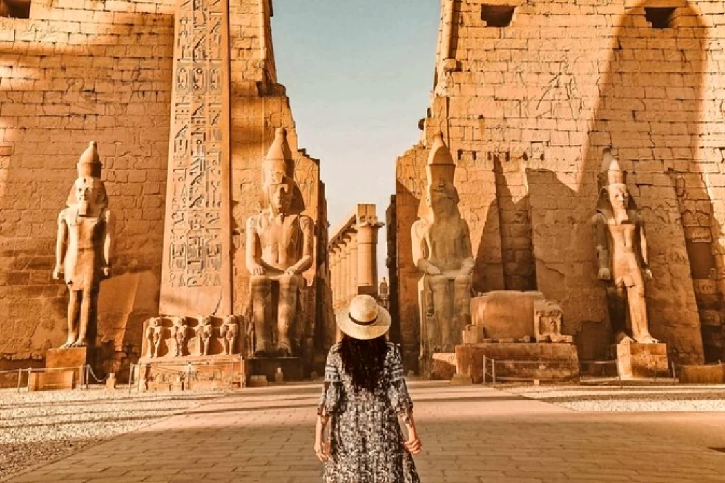
Luxor Governorate Egypt
The capital of the Arab Republic of Egypt is Luxor City, which was once known as "Thebes City" because it served as Egypt's capital during the Pharaonic era. It is situated in the South Upper Egypt region, approximately 670 kilometers from the capital Cairo from the south. It is bordered on the north by Qena Governorate, on the south by Aswan Governorate, on the east by Red Sea Governorate, and on the west by New Valley Governorate.
Admin
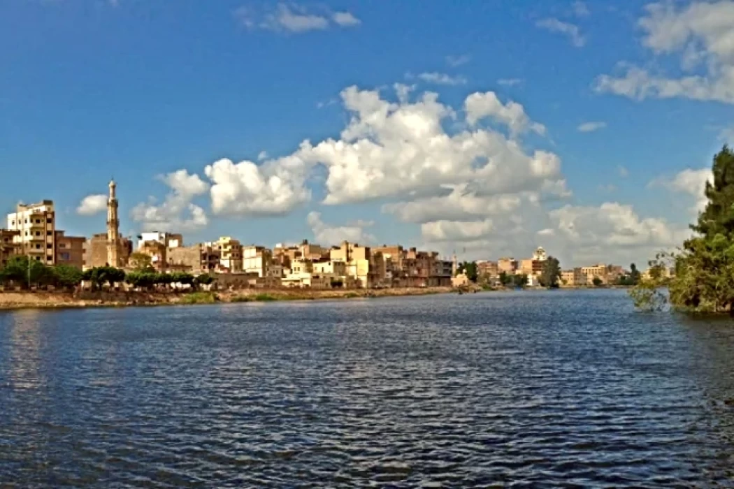
History of kafr El Sheikh Governorate
Kafr El Sheikh Governorate is an Egyptian governorate, located in the northernmost part of Egypt in the Nile Delta, with Kafr El Sheikh as its capital. It had a population of 3,172,753 in 2015 and an area of 3,748 km². Its entire area is located north of the delta and overlooks the Mediterranean Sea. The main economic activity of the residents of the governorate is agriculture and fishing, especially the southern lands of the governorate and the lands overlooking the Nile River - Rosetta Branch.
Admin
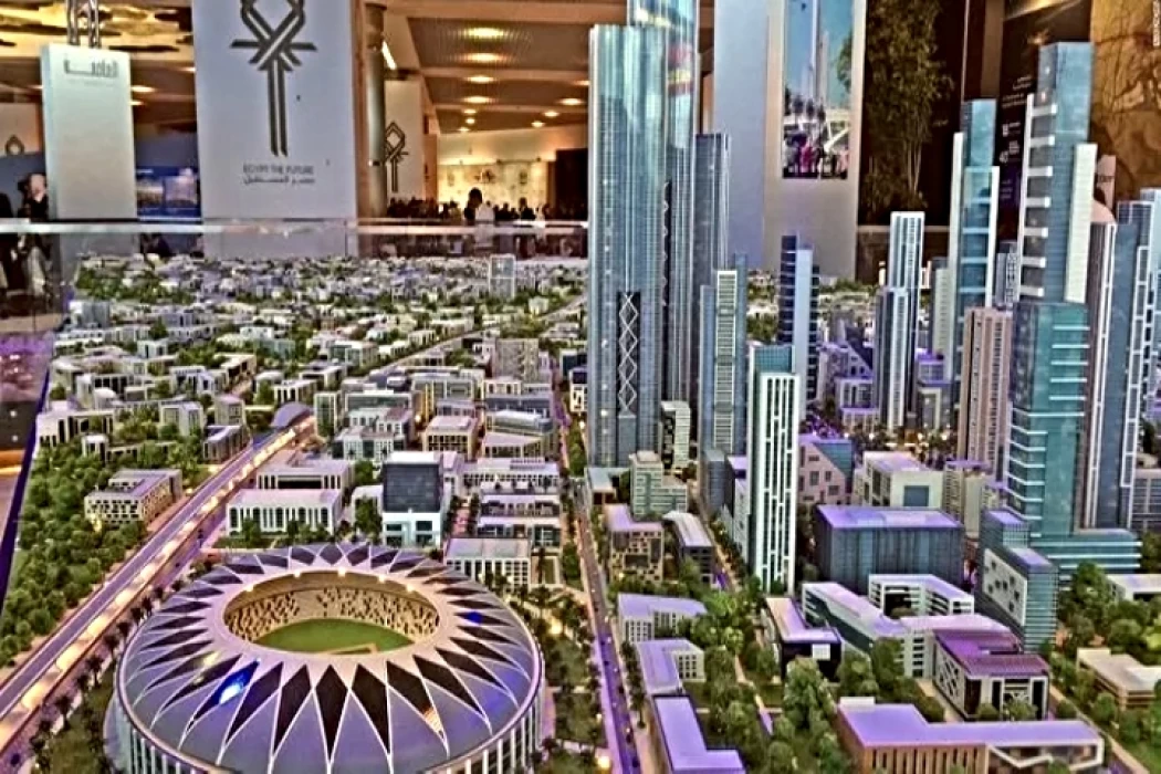
Egypt's New Administrative Capital
The New Administrative Capital is located between the Cairo-Suez and Cairo-Ain Sokhna roads, 60 km from Cairo and the same distance from Ain Sokhna and Suez. The New Administrative Capital is located on the border of Badr City, in the area between the Cairo-Suez and Cairo-Ain Sokhna roads, just after New Cairo, Mostakbal City and Madinaty.
Admin
Al Gharbia Governorate
Gharbia Governorate is one of the governorates full of archaeological sites, whether they are places or facilities (mosques, churches), as the governorate is a destination for visitors to these places throughout the year, whether they are Egyptians from the different governorates.
Admin
Hamata Islands (Qulaan Archipelago) in Marsa Alam
The Hamata area, south of Marsa Alam in the Red Sea, is one of the most important parts of the Wadi El Gemal Reserve, whether in the desert or the sea. It was named after the sorrel plant, which was distorted to Hamata.
