Beni Hassan Tombs in El Minya city
Situated around 245 kilometers south of Cairo in Central Egypt, Minya is situated south of the governorates of Fayoum and Beni Sueif. A rich region dating back to more than 2,500 BC. Within the walls of the great mountain are 39 tombs dug into the highest part of the mountain.
Only twelve tombs have inscriptions and coloured motifs, four of which are accessible to the public. The others are still closed to the public. Every tomb tells a different narrative and is renowned for its vibrant murals and detailed sceneries on the walls. The 10th, 11th, and 12th dynasties—the First Intermediate Period—are represented in all of the tombs, which is one thing they share in common.
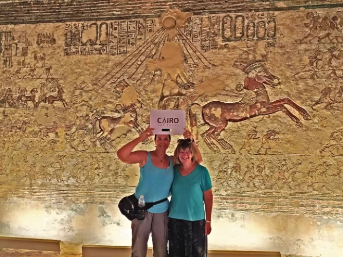
The first publicly accessible tomb is that of Kheti, dating from the 11th dynasty. Kheti was governor of the Oryx nome at the end of the 11th dynasty, one of the 42 nomes of ancient Egypt. Kheti is known for the decorative scenes inside his tomb. He dug his tomb in the rocks of the mountain near the tomb of his father Baqet III. The walls of the tomb contain colorful scenes depicting daily life.
Among his paintings is one showing Kheti with his wife, in front of bird-hunting scenes, scenes depicting the textile industry, silos, deer hunting and fishing. Inside the tomb is a false door carved into the wall to the right of the entrance. The same wall also features scenes depicting the journey to the afterlife. The tomb also contains burial shafts, one of which was dug.
This tomb is the oldest in the Beni Hassan necropolis. Baqet III was one of the governors of the Oryx nome. He was the father of Khéti. Baqet III had his tomb dug. He ruled his nome during the 11th dynasty, at the end of the First Intermediate Period. During his reign, he was able to reunify the country. His tomb is famous for its many spectacular scenes.
The tomb of nomarch Amenemhat, ruler of the Oryx nome during the reign of Sesostris I, is the last publicly accessible tomb of the 12th Dynasty. Carved into the rocks, it features a chapel with a roof supported by columns, dividing the space into three vaulted naves. The murals illustrate various themes, such as agriculture, crafts, desert hunting, military activities, and funeral rites. At the entrance to the tomb are depictions of Amenemhat's expeditions and his beneficent deeds as nomarch.
The tomb of Khnumhotep II, located at the northern end of the nomarchs' necropolis, is the most remarkable of the 12th Dynasty tombs for its impressive architecture and decoration. The entrance to the tomb is marked by a vestibule with two columns, and the ceiling is decorated with geometric motifs. Famous scenes include the arrival of an Asian delegation in the sixth year of Sesostris II's reign, depicted on the north wall as a parade of people. The tomb also illustrates the family history of Khnumhotep II, the construction of his tomb by the architect Baquet, and various activities, such as the king hunting birds and the nomarch receiving offerings on the south wall.


