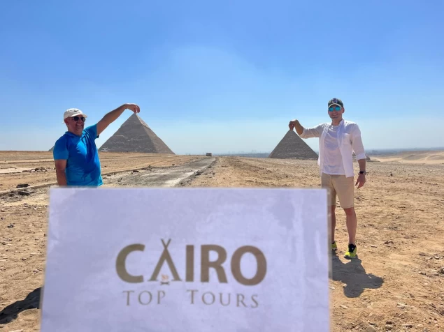
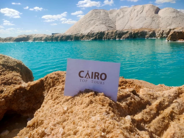
South Sinai Governorate | Sinai Desert Egypt
Details About South Sinai Governorate
The land of Sinai is the epitome of the nature of the rest of the land of Egypt, it has a part of everything, from its climate Sinai's mild nature in the summer, rainy in the north and warm in the south in the winter ... It has the model of the eastern Egyptian highlands and even has the highest Egyptian peak at Catherine ... It has valleys and deserts, it has agriculture, mining, industry and tourism together, even the Nile River was its first choice to be the seat of its eastern branch in ancient times, until the Egyptians today restored this artery again through the Peace Canal.
The face of Sinai is very clear and distinctive, as it is easily divided into three regions drawn by the pen of nature in a magnificent geometric shape, spacious plains in the north, flat plateaus in the centre, and majestic mountain ranges in the south, and in the same parallel, water sources vary: rainfall in the north, groundwater in the centre, and torrential torrents on the mountains of the south.
The south is the region of the mountains. or the real mountainous mass in Sinai. It occupies the southern and narrower third of the triangle of the Sinai Peninsula between the Gulfs of Suez and Aqaba. . Three distinct sectors can be distinguished within the South Sinai Mountains region:
The coast of the Gulf of Suez: This area is bordered by the eastern coast of the Gulf of Suez, and its eastern boundary is the South Sinai Mountains region ... The elevations in this area vary from one side to the other. In Sidr Al-Hitan, it is almost flat areas to form a corridor north of the Wadi Gharandil area by about 25 kilometres ... The elevations continue from Jebel Hamam Pharaon to Abu Znaima by 4 kilometres ... Then it starts to decline until the coastal area south of Abu Rudeis.
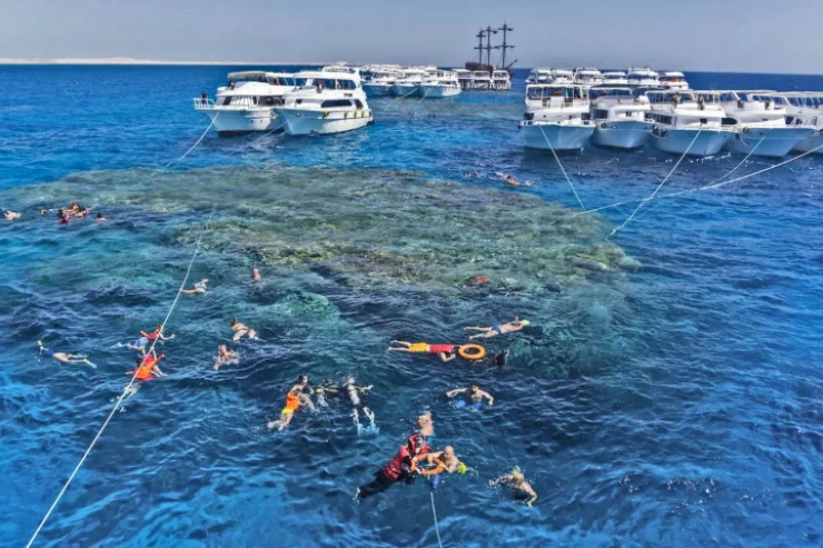
The coast of the Gulf of Aqaba: The coastal area of the Gulf of Aqaba is very flat, with many marinas and bays that flow into some of the valleys. The valleys of these two sectors of South Sinai are organised in a series that originates from the heart of the mountain mass in the interior. As for the valleys of these two sectors of South Sinai, they are organised in a series that originates from the heart of the mountain mass in the interior and most of them head to the southwest and some of them head directly to the west, and almost all of them reach until they pour into the Red Sea.
The most important and longest of these valleys is Wadi Firan, which defines the dividing line between the Ajma plateau in the north and the Al-Tur mountain mass in the south, and is the main road opener to the Al-Tur mass, and thanks to its tributaries (especially Wadi Akhdar, Wadi Salaf and Wadi Al-Sheikh) it goes deep to St. Catherine directly in the heart of the highest mountain forest in Sinai. Then a group of smaller valleys spread from the north around the coastal mountain ranges and some of them run from the east, and then they all meet near the mouth of the sea ... and to the south of it, smaller valleys emerge ... Finally, to the north, Wadi Atat flows north of Ras Muhammad, and its waters descend from the summit of Mount Atat in the northeast.