The Darb el-Arbain - Kharga Oasis
Facts about Darb al arbain
The Arbaeen Trail is a caravan route that used to start from Darfur, passing through the Kharga Oasis, then to Assiut until it ended at Imbaba in the Giza Governorate, and caravans traveled it in forty days. Kharga Oasis was the real door to West Africa, and it was an important trade route connecting Sudan and Egypt that lasted for many centuries.
The outer oases have played an important role throughout the ages, as pilgrims and mystics coming from the Maghreb used to take the 40th route and take rest and shelter in the outer oases, where they wrote their memories and wrote poetry and prose on the walls of the domes inside and outside.
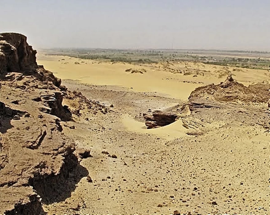
Darb Al-Ghabari is one of three famous paths used in the past by the people of the oases for travel, travel, trade and war, such as Darb Al-Arbaeen and Darb Ain Amor. Many archaeological finds of pre-dynastic times and some inscriptions from the Old Kingdom were found on Darb Al-Ghabari road, and there are some sandstone rocks on Darb Al-Ghabari road that take multiple forms in the form of a camel crouching on it and some scribbles of prehistoric man with ancient drawings of some animal shapes and insects, including a spider.
Several other branch roads branch out from Darb Al-Ghabari, including to Assiut Governorate, Sudan, and Libya, due to its great historical and strategic importance, as this route contributed to the exchange of cultures between the oases and the Arab Maghreb countries in the past, and the caravans of pilgrims to the Holy House of God passed through it, as well as the invaders coming from North Africa who attacked the oases for centuries.
In the modern era, several giant projects have been implemented on the road, such as the Abu Tartour phosphate mine and one of the phases of the one and a half million feddan project, as well as several ancient Roman wells that exist on the road until now.
The most famous landmark of the dusty trail or the Dakhla-Kharga road is the crouching mountain rock on the Dakhla-Kharga road, an important area visited by safari tourists to see natural rock formations in the form of animals, most notably the crouching camel and hundreds of drawings and scribbles of prehistoric man that tell pages of his history and lifestyle and his dependence on pastoralism, fruit gathering and hunting, as the environment in which he lived was a marine environment with meadows, water and trees.
The rock is located about 12 meters high on the side of the Kharga-Dakhla road in the New Valley Governorate and 1000 meters deep from the road, in the form of a camel crouching near the farms and fields of the local people, which was formed by nature millions of years ago and became an important attraction for safari and camping enthusiasts and photography professionals, as the New Valley Tourism Promotion Authority decided to include the location of the rock among the tourist attractions in the governorate, and it was placed on the tourist map of the province as an authentic symbol of the oases and an addition to the sedimentary rock sculptures spread in the white desert area in Farafra.


