Egypt's Beheira Governorate
Beheira governorate
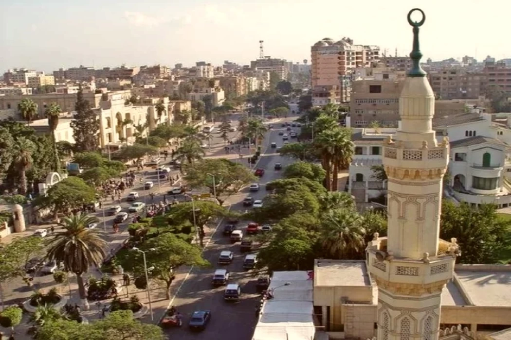
It’s an administrative territorial unit of the Arab Republic of Egypt, where the city of Damanhur serves as its capital and covers land of 9,119,253 square kilometer and is divided politically into sixteen cities and fifteen centers, and was liberated from British rule in 1807.
Cairo is found on the western region of the Delta of Nile in the country of Egypt where in the southern region it is bordered by Giza Governorate, to the east it faces the Rashid Branch, the Matrouh and Alexandria President covenants are to the west, while the Mediterranean Sea is located to the north.
The Egyptian population as compared to the global population as revealed by the year 2013 statistics. Its population is 5,346,253 million people, and the majority of the population speaks Arabic, the official language of the country, while the majority of the people follows Islam and Christianity.
National Day of Beheira Governorate
The residents of the governorate celebrate their national day every year, specifically on the nineteenth day of September, which commemorates the victory of the people of the governorate over the British army in 1807, and their evacuation from the country.
Beheira Governorate Landmarks
- Rosetta Museum: Built in the first half of the eighteenth century AD, it is a four-story building that dates back to the first half of the eighteenth century. Kom Taqala Archaeological Hill: Located on the southern side of Ezbet Al-Sawi.
- Al-Amsili House: It was built in the Mamluk era in 1213 AD by Othman Agha Al-Tubji.
- Qaitbay Fortress: Located on the western shore of the Nile River, it was built by Sultan Ashraf Abu al-Nasr Qaitbay at the end of the Mamluk rule.
- Other landmarks: A painting representing the argument for the construction of the Mahmoudiya Tributary, the Edko Salas, the Opera House in Damanhour, the Municipal Theater Building, the Municipal Library Building, the Edfina Qanatr, the coal-fired El Atf Electric Station, King Farouk Palace, the Legal School Building, and the Nubariya Electric Station.
General information about Beheira
- The governorate has 417 villages, and Kafr El Dawar is one of the largest cities in the governorate.
- Flags and personalities from the governorate: Muslim Brotherhood founder Abdel Hamid Koshk, journalist Abdel Moneim Sawy, Islamic preacher Muhammad al-Ghazali, popular hero Adham al-Sharqawi, Finance Minister Samir Radwan, writer Youssef al-Qaied, football coach Hassan Shehata, Islamic scholar Muhammad Abdullah, diplomat Mostafa al-Fekki, singer Muhammad Abdel Muttalib, physicist and chemist Ahmed Zewail, and Sheikh of Al-Azhar Ahmed al-Damanhouri.
- Its administrative centers: New Nubariya, Hosh Issa, Itay al-Baroud, Wadi al-Natrun, Idku, Abu Homs, Shubrakhit, Abu al-Matamir, Dalanjat, Rashid, Kafr al-Dawar, Damanhour, Kom Hamada, Rahmaniya, Badr, Nabaa al-Hamra, Kom Hamada, and Mahmoudiya.
Latest Articles
Admin
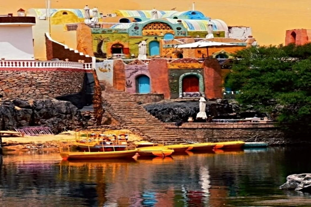
Aswan Governerate in Egypt
One of Egypt's southern governorates is Aswan Governorate. The city of Aswan serves as its capital. At a latitude of 22 north of the equator (also known as the Tropic of Cancer), it is bounded to the north by the Qena Governorate, to the east by the Red Sea Governorate, to the west by the New Valley Governorate, and to the south by the Republic of Sudan.
Admin
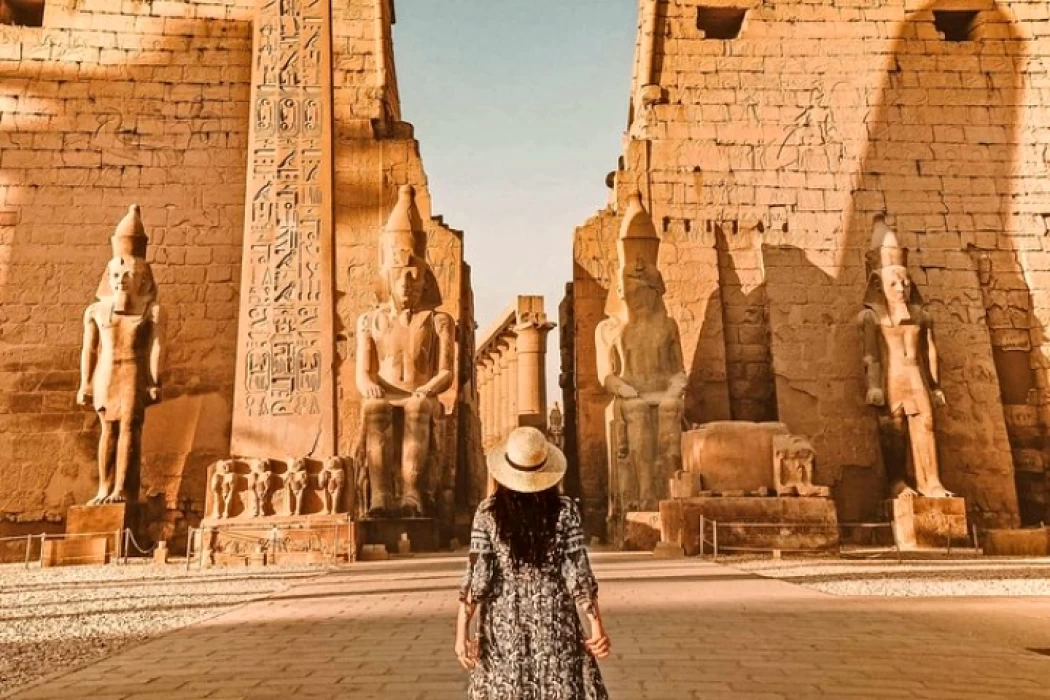
Luxor Governorate Egypt
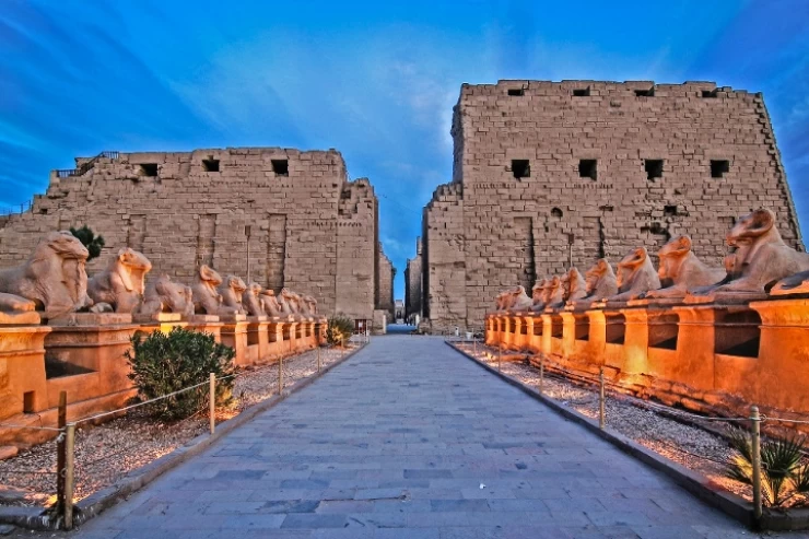
The capital of the Arab Republic of Egypt is Luxor City, which was once known as "Thebes City" because it served as Egypt's capital during the Pharaonic era. It is situated in the South Upper Egypt region, approximately 670 kilometers from the capital Cairo from the south. It is bordered on the north by Qena Governorate, on the south by Aswan Governorate, on the east by Red Sea Governorate, and on the west by New Valley Governorate.
Admin
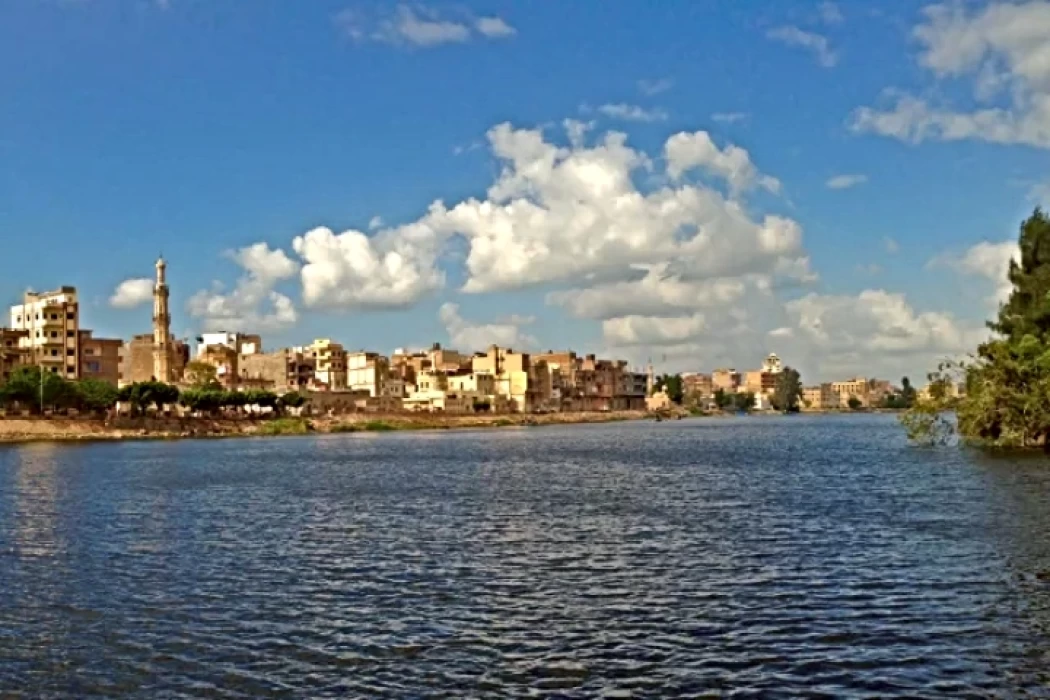
History of kafr El Sheikh Governorate
Kafr El Sheikh Governorate is an Egyptian governorate, located in the northernmost part of Egypt in the Nile Delta, with Kafr El Sheikh as its capital. It had a population of 3,172,753 in 2015 and an area of 3,748 km². Its entire area is located north of the delta and overlooks the Mediterranean Sea. The main economic activity of the residents of the governorate is agriculture and fishing, especially the southern lands of the governorate and the lands overlooking the Nile River - Rosetta Branch.
Admin
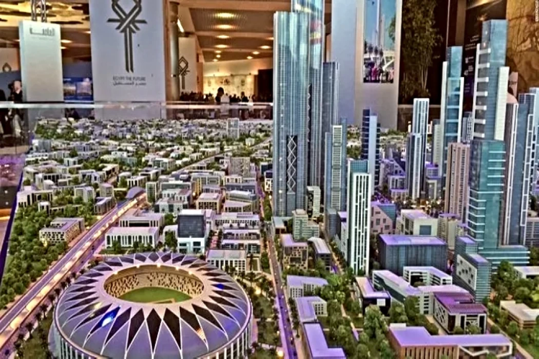
Egypt's New Administrative Capital
The New Administrative Capital is located between the Cairo-Suez and Cairo-Ain Sokhna roads, 60 km from Cairo and the same distance from Ain Sokhna and Suez. The New Administrative Capital is located on the border of Badr City, in the area between the Cairo-Suez and Cairo-Ain Sokhna roads, just after New Cairo, Mostakbal City and Madinaty.
Admin
Al Gharbia Governorate
Gharbia Governorate is one of the governorates full of archaeological sites, whether they are places or facilities (mosques, churches), as the governorate is a destination for visitors to these places throughout the year, whether they are Egyptians from the different governorates.
Admin
Hamata Islands (Qulaan Archipelago) in Marsa Alam
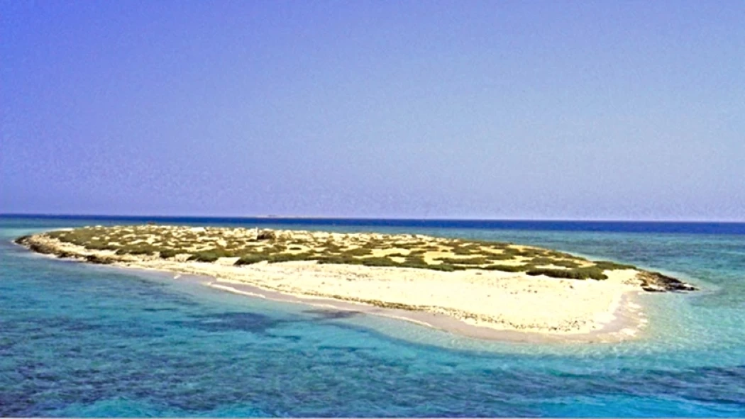
The Hamata area, south of Marsa Alam in the Red Sea, is one of the most important parts of the Wadi El Gemal Reserve, whether in the desert or the sea. It was named after the sorrel plant, which was distorted to Hamata.
