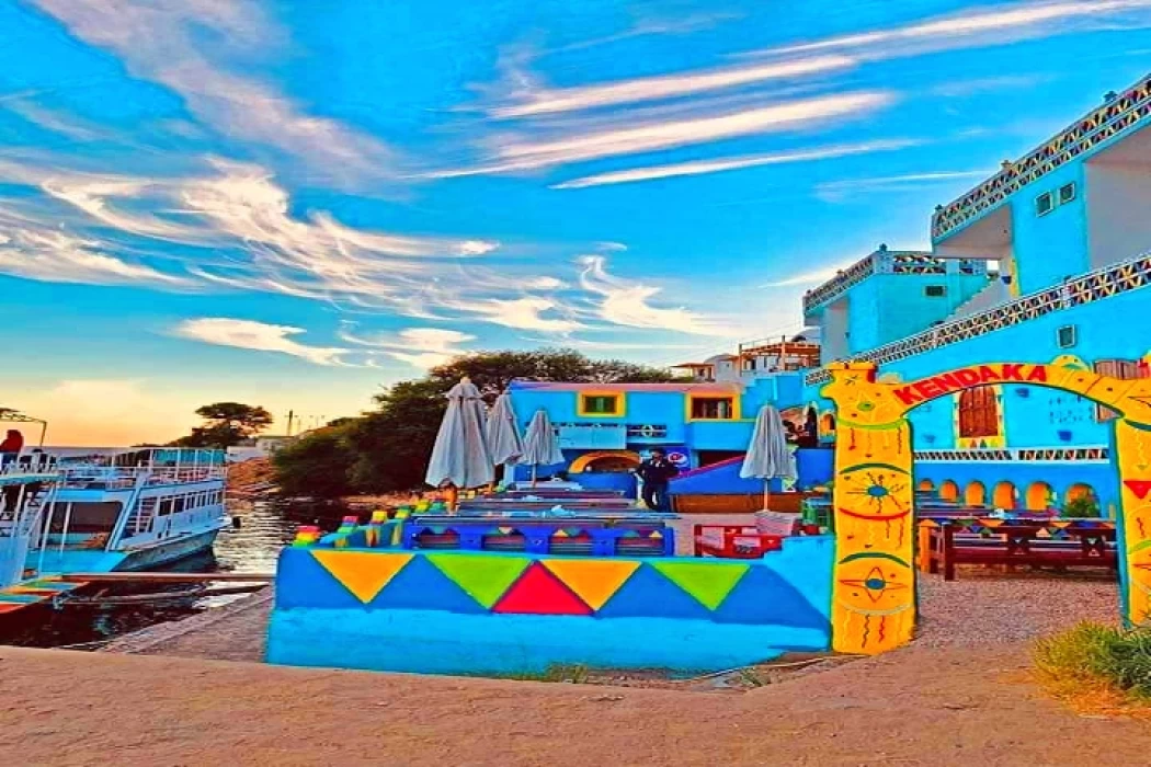
Nubian History and Culture
Nubian History and Culture
The area located in southern Egypt along the Nile River to northern Sudan. Most of Nubia is located in Sudan and about 25% of it is located in Egypt.
In ancient times, Nubia was an independent kingdom. The Wadi el-Khawy, south of the Third Cataract, was an ancient Nile basin about 123 km long to the east of the current course of the Nile. Since the fourth millennium BC, it was a rich agricultural basin that led to the emergence of Neolithic societies. Cemeteries were discovered there that were an embodiment on the ground of the social organization of their societies during the third millennium BC.
It is called the land of gold, as the name Nubia is derived from the word (Nub), which means gold in the ancient Egyptian language. It was also famous for its gold mines, which were called Nubaria. In the dictionary, we find that the word Nubia means: a generation of people living in a country named after them and located in the southern part of Egypt. In another meaning, the name is attributed to Nabataeus, the son of the Prophet Ismail, peace be upon him, and as they ruled the lands of the Nile Valley and Africa, they mixed with the local tribes. Over time, many African tribes that were under the rule of the Nabataeans took the same title. It is now noted that there are dozens of tribes of different ethnicities under the same title, with different tongues, and the same title remained, which is Nubia.
South of Aswan and up to Khartoum, where the Nubian people live, and where kingdoms were established whose influence extended over the Nile Valley in Egypt to the Mediterranean Sea in the north. The history of Nubia dates back to the Stone Age in prehistoric times. In the Khartoum area, stone artifacts were found that date back to a Negro race that is different from any Negro race that exists today. In the Shekhinab area north of Khartoum, artifacts dating back to the Neolithic Age were found, including pottery and ceramics. The early Nubians domesticated animals.
In the fourteenth century, conditions in the Dongola region deteriorated, and the last king of the Dongola Kingdom, Todanbes, was defeated in 1323. Islam began to spread there and Nubia came under complete Egyptian control. In the sixteenth century, southern Nubia came under the control of the Kingdom of Sennar and northern Nubia came under the control of Egypt. During the reign of Muhammad Ali Pasha in the nineteenth century, Nubia came completely under the control of Egypt until the Sudan Agreement (1899), when Sudan was subject to British colonialism and the British Governor-General of Sudan became the de facto ruler of Sudan. After the revolution of July 23, 1952, Sudan officially separated from Egypt and the High Dam was built and Lake Nasser was formed behind the dam in the Nubian regions, so the Nubians were displaced to other areas north of the High Dam.
The Supreme Council of Culture has announced the year 2014 as the Year of Nubian Culture. On January 18, 2014, Beit El Senary, in partnership with the Nubian Youth Coalition, the Nubian Charity Association, and Al-Masdar News Network, held an open day dedicated to Nubian heritage, arts and crafts entitled “Nubian Day,” to honor the Nubian Culture Year 2014, next Tuesday at 3:00 PM. The day involves a presentation of Nubian culture by young Nubians showcasing an array of traditional artifacts and foods, along with a serving of some well-known drinks and a short preview of the upcountry dress. The day includes several workshops designed to inform the participants on the making of various handicrafts and crafts specific to the Nubian people including leather works, Nubian jewels, and henna paint.
A photo exhibition for Nubia is also planned on the same day and other more activities artistic in nature will be celebrated to showcase more aspects of the rich Nubian culture involving poetry, singing, marionettes, theatre and musical performance of songs in honour of the Nubian culture, and a talk by an archaeologist called Bassam Al-shamaa on the history of Nubia.


