Kerak's Crusader Castle
Kerak's Crusader Castle
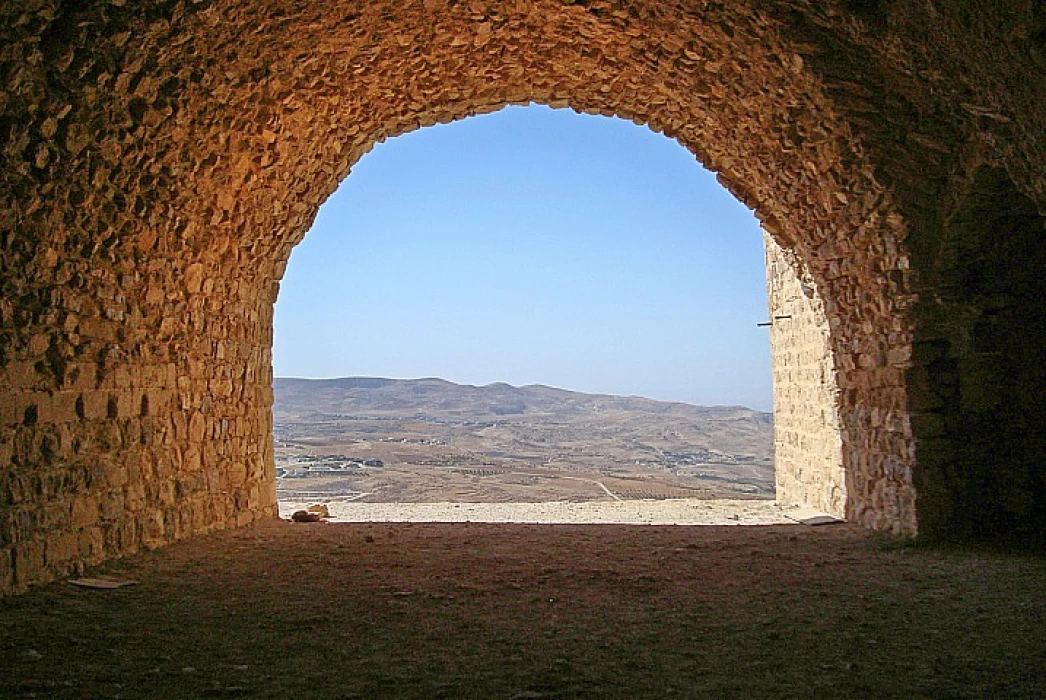
Karak Castle, which stands as a witness to the successive ancient eras of nations and civilizations that roamed the Arab region, is located about 120 kilometers south of the Jordanian capital, Amman. In an area of 25,300 square meters, with a length of 220 meters, a width of about 125 meters, and a height of 900 meters above sea level, Karak Castle is one of the largest and most important castles of the Crusades.
It was built by Prince Haris of Jerusalem to protect the southern part of the Levant and secure the road between Damascus and Egypt during the Crusades. Next to a valley with a canal running through it, the “Karak Castle” is located on the triangular plateau on which the ancient historical city of Karak sits.
The foundations of the castle date back to the Moabite era, around 860 BC, and were used by the Nabataeans, as evidenced by the presence of Nabataean statues inscribed in the first foundations of the castle, and remained in the Roman and then Byzantine era a protective shield for Jordan, as the Madaba mosaic map referred to it among the group of castles in this region.
The “Karak Castle” was built before the start of the Crusades, but the Crusaders built expansions to the castle in their time, while Salah al-Din al-Ayyubi took the castle after the Battle of Hattin, after which he was able to retake Jerusalem and the Al-Aqsa Mosque from the hands of the Crusaders.
The city of “Karak” means “Ker”, meaning city, but if it meets the word “Moab”, it means “castle”, as it was one of the most important cities of the Kingdom of Moab, whether before or after the rule of King Misha Al-Moabi, according to history books and historians, according to history books and historians.


