North Sinai Governorate | Red Sea Attractions
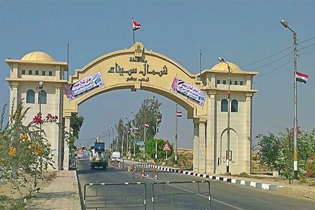
Information About North Sinai Governorate
The Sinai Peninsula serves as Egypt's eastern entrance and links Africa and Asia. This triangle-shaped region sits in Egypt's northeast and goes by the name "Land of Turquoise."
It's part of Asia and shares borders with Israel and Gaza on its east side. The Suez Canal forms its western edge setting it apart from Egypt's Eastern Desert. The Mediterranean Sea touches its northern coast, while the Red Sea laps at its southern shore.
The area splits into two main parts for governing: North Sinai, with Al-Arish as its hub, and South Sinai led by Al-Tur. Port Fouad city falls under Port Said's rule. The Qantara Sharq center and city belong to Ismailia's domain. , the Al-Janayen area comes under Suez's control.
North and South Sinai governorates have a population of around 700,000 people. Several tribes call this area home, with the Sawarka, Rumailat, Tarabin, and Masaed being the most well-known among others.
The British Encyclopaedia suggests that the name Sinai might have its roots in the name of Sin, an ancient Middle Eastern moon god.
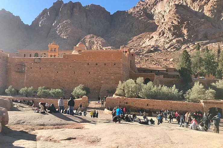
Sinai holds significance as the place where God gave Moses the commandments and where Jesus Christ's family journeyed to Egypt. Key locations in Sinai include El Arish, Rafah, Port Fouad, El Tor, Sharm El Sheikh, Taba, and the area around Mount St Catherine.
In Sinai, there have been many conflicts; Egypt and Israel were involved in the most recent one. Sinai was seized by Israel in 1956 and once more in 1967. However, Israel's occupation came to an end and its forces left the area when Egypt and Israel signed a peace accord in the late 1970s.
Mineral resources like iron, phosphates, copper, and oil abound throughout the Sinai Peninsula. It also provides a wide range of tourism experiences, such as wellness retreats, adventure trips, and spiritual locations.


