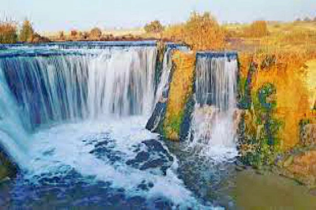
Wadi El Rayan Nature Protectorate In Faiyum City Egypt
The Wadi Al-Rayyan Reserve is located in the southwestern part of Fayoum governorate. Wadi Al-Rayyan consists of the Upper Lake, the Lower Lake, the waterfalls area that connects the two lakes, the Oyoun Al-Rayyan area south of the Lower Lake, the Jabal Al-Rayyan area, which is the area around Al-Oyoun, and the Jebel Al-Madawara area, which is located near the Lower Lake.
Wadi Al Rayyan is characterized by its integrated desert environment, including dunes, natural eyes, various plant life, diverse animals, as well as marine fossils, and the waterfalls area is considered one of the different marine sports areas. There are 15 species of wild animals in the reserve, the most important of which are (white deer - Egyptian gazelle - funk Fox - sand fox - wolf) and there are also several species of Falcons.
Origin of the name,
Wadi Al-Rayyan is considered one of the most important nature reserves in Egypt after Ras Mohammed, St. Catherine, and Jabal al-ABBA reserves. Wadi Al-Rayyan was named after a king named Al-Rayyan Ibn al-Walid, who lived in the area with his army for a period watering water from the natural eyes of the area. the Bedouins agreed on this designation, which was found to have ancient Egyptian origins, as found in they match the real reality because it is low, closed from all sides, it is not considered a valley, and because the word Al-Rayyan means It is saturated with water while it is a wasteland without water, so it is believed that the name came as an antidote, as Dr. Gamal Hamdan said in his book The Personality of Egypt.
The geographical location of Wadi Al-Rayyan,
Wadi Al-Rayyan is located in the western desert southwest of Fayoum about 40 kilometers from the city of Fayoum and 150 kilometers from Cairo and extends between 29 degrees and a minute and 29 degrees and a minute and two latitude circles of 30 degrees and 30 minutes and separated from the Fayoum depression by a limestone barrier up to a width of about 15 kilometers and the total area of the lakes at a level of 1 meter, i.e. 2.5 its is absorbed by Lake Qarun (1100 million cubic meters).
Steps of thinking about the creation of the Wadi Al-Rayyan depression,
The first to think about taking advantage of the waters of the Wadi Al-Rayyan was Muhammad Ali Pasha, who commissioned his chief engineer Linan de Belfon to find a way to store flood waters. in 1882, the American engineer Frederick Top Hoyt Hoss presented an exchange project, the first of its kind, to divert the Nile water to the Wadi Al-Rayyan depression to protect the Nile from high floods and use the stored water in times of need. Colonel Western, assisted by lernobek, made a detailed study of the Wadi Al-Rayyan project and reported on it in 1880, and Sir William Wilkes submitted his first report in 1890, the second in 1894, and the third in 1895, and the thought was heading to connect the Nile River to make a huge cruiser to Wadi Al-Rayyan by digging a canal passing through Work began on digging a large area of the canal in 1943, but the project was not completed for fear of water leakage to the Fayoum depression, believing that there are faults and fractures under the rocks, and in 1950, the geological expert Sir Cirque de Vaux presented a report on the geology of the area, but thinking about the High Dam canceled the thought of using the Wadi Al-Rayyan as a water storage, which encouraged Muhammad Ali Pasha and a group of foreign scientists to study the idea of creating the depression and using it as a water storage in time of need is the level of that valley, where the valley is lower than the Mediterranean Sea by – 46 meters, which is about 1 meter above the level of Lake Qarun, which made it possible to drain the southern agricultural lands in Fayoum to Wadi Al-Rayyan.
Wadi Al Rayyan project,
The presence of the Rayyan depression with such a large area of 400 kilometers very close to the Fayoum depression prompted us to think about draining excess irrigation water from agriculture in Fayoum governorate to this depression because the discharge of this water before in Lake Qarun resulted in a rise in the groundwater level, which threatens agricultural land in the region, as well as flooding large areas of the southern shore of the lake, which is the first tourist areas in the governorate, and to solve this problem, it was decided to implement a project to drain a large part of this water to the Rayyan depression, and Fayoum governorate has 378 thousand acres, from which an area of 120 thousand acres is drained in Wadi Al-Rayyan, and this project, which was completed in March 1973 boils down to the laying of a channel from Fayoum to Al Rayyan is heading from the Northeast to the southwest, carrying excess drainage water and a channel of two sectors, an exposed channel 9.5 kilometers long at the end of the western end of Fayoum to the edge of the desert, and then a tunnel dug under the limestone barrier separating the Fayoum depression and the Al Rayyan depression, 8 kilometers long and 3 meters in diameter, and ends at the northeastern edge of Al Rayyan. this project resulted in the formation of two lakes, the first 35 thousand acres and the second 25 thousand acres, including a waterfall, as a result of the height difference between them, and as a result of the continuation of drainage, the area of these water bodies or lakes as a result of this project, Fayoum was transformed for the first time from internal drainage to External drainage also resulted in the transformation of Wadi Al-Rayyan from a dry depression below sea level to internal artificial lakes, although its surface remains below sea level, and it comes after the artificial lake created by the Egyptian man at the High Dam, i.e. Lake Nasser, this also resulted in fundamental changes in its ecosystem, whether from animals, plants, birds or insects. moreover, this area, after being part of the Western Desert, has become a place frequented by man, although this man is still a fisherman.
The benefits of the project,
Give the lands of the Fayum sufficient metered irrigation of water.
Provide complete drainage both in-place and in-depth drainage.
The cultivated land increased to an area of 5900 acres.
Rice permits increased from 10,000 acres to 40,000 acres.
Cultivate 10-acre fruits.
Ensure that Al-sharqi and corn planting are carried out on the appropriate dates.
He created an artificial lake area in the middle of the desert for breeding fish.
Increase the national income by at least 5 million Egyptian pounds.
The possibility of generating electric power with a capacity of 200 horsepower from the four water bodies.
Climate in Wadi Al-Rayyan,
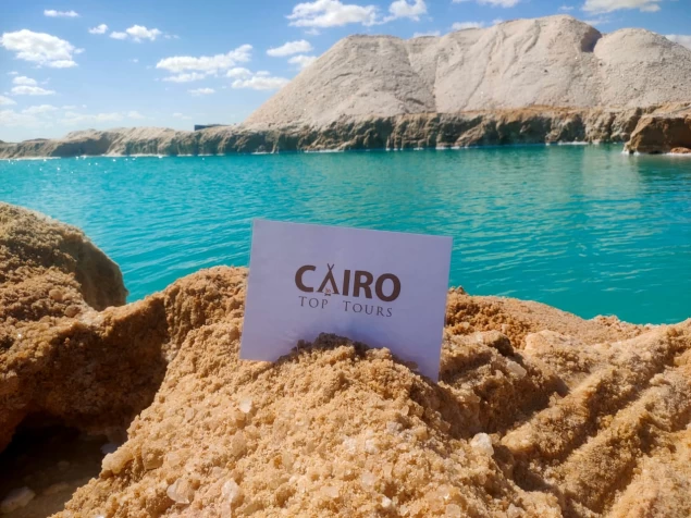
The average temperatures in the period from March to September reach 28 degrees and from October to March 18 degrees and the relative humidity is 50%. The Wadi Al-Rayyan Reserve was declared in 1989 to protect the unique geological, biological, and cultural resources of the region. the reserve covers an area of 1759 square kilometers in the southwestern part of Fayoum and contains a variety of environments, each of which has its types of wildlife and features. the two artificial lakes in Wadi Al-Rayyan were formed in 1973 when a desert depression was flooded with excess agricultural wastewater. in Egypt, through the Reserve, large areas of the desert are preserved, which are characterized by a diversity of environments There is also a rare and exciting life in the Wadi Al-Rayyan desert, as well as the fossils of primitive creatures that lived here in the distant past, deserve to be appreciated and protected, and for the sake of scenes that are difficult for one to forget, the contrast between the blue of the lake waters and the desert sands.
The main components of the Wadi Al Rayyan region,
Upper Lake-lower lake-waterfalls area-madawara mountain area-hell continent area-Rayyan eyes area-Rayyan mountain area (Rayyan beaks). And we show these regions some information
Upper lakes,
It has an area of 65 kilometers and is located in the Masakhit Valley, its level is higher than the Lower Lake by 20 meters, its salinity is about 1.5 grams/liter, and its maximum depth is 22 meters, the water level is 5 meters below sea level, and its water is semi-saline and renewable.
The Lower Lake
Located in Wadi Al-Rayyan with an area of about 100 kilometers, it is a large lake and its salinity is higher than the upper lakes and amounts to about 2.5 grams/liter as a result of the evaporation process and its maximum depth is 34 meters and the water surface level is 25 meters below sea level.
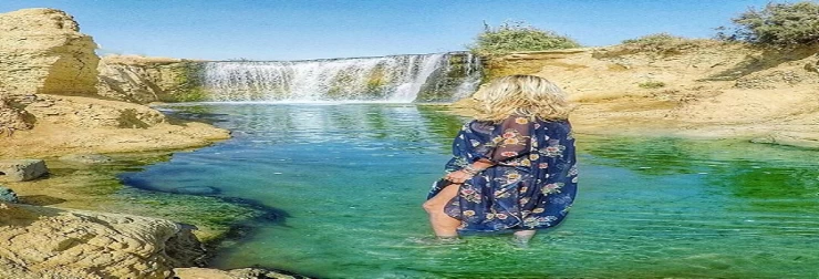
It is represented in the area connecting the two lakes, located in the Qassim Valley, and the difference between the two lakes reaches twenty meters, which is three natural waterfalls where the water flows at a height of more than among forests of papyrus plants, an area of great beauty and scenery and suitable for fishing sports without harming the environmental balance of the area and suitable for marine sports such as diving, in addition to recreational and tourist activities such as horse riding, camels, golf courses in the waterfalls area, vegetation and some geological structures. This area is one of the important natural components of ecotourism and it lacks only the delivery of facilities to it to provide convenience for visitors, as it needs a paved road, as it is only 1000 meters away from the contribution road, it also needs the delivery of fresh water and telephones and also needs a pedestrian overpass connecting the two sides of the waterfalls and the construction of some chalets to receive tourists from all over the world.
Rounded mountain area
The mountain is a high plateau in the form of a circle, which is met by three nearby plateaus, similar to the pyramids, and the water flows between them in the form of a tongue from the lake, and below the mountain, there is a beach with a length of about 500 meters, and it is characterized by being shaded by the shadow of the mountain, which is one of the very picturesque views in the lake. this area is located near Lower Lake, which is a very beautiful area, and there is a Mountain Between the two rivers.
The hell continent area (Valley of Whales)
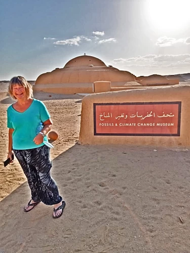
Forty million years ago, Wadi Al-Rayyan was under a very pressurized ocean, and as a result of geological changes, the ocean was confined, leaving behind the rest of some animals, this area was called The Whale Valley due to the presence of traces indicating the presence of whales in it. hundreds of fossilized skeletons of some species of early whales, shark teeth, shells, and other marine animals have been discovered. there is a complete whale skeleton display at the Egyptian Geological Museum, and that area is an open museum where large concentrations of these whale species can be seen. The Valley of Whales is characterized by the presence of many selected sites such as :
Rocks with the remains of skeletons of marine animals.
A fossilized spine of a Marine Mammal.
A skeleton of a marine mammal, including a spine.
Fragments of structures of marine mammals are adjacent to watermelon fields and consist of calcareous sandstone.
The spine of a marine mammal is covered with particles of sand.
Skeletal remains, bones of a Marine Mammal, a Marine vertebral column, and bone remains.
The skeleton and bones of a Marine Mammal, are irrigated by factors of nature.
The Mangrove Shuri plant is fossilized inside soft rocks.
Oyoun Al Rayyan area,
It is located south of Lower Lake and has an area of 150 square kilometers, and the Oyoun Al-Rayyan area is described as an area with an integrated desert environment, and it was named so because there are some sulfurous natural eyes in it. the area consists of long, dense, and moving dunes and there are four integrated sulfurous natural eyes suitable for medical and recreational tourism. The Oyoun Al Rayyan area is a rich area of plant life from palm forests and ghardak and is sandwiched between three mountains. As for the animal life, there are wild animals such as the Egyptian gazelle, the Egyptian Wolf, the red fox, and the fiery and endangered white gazelle, and it also contains more than a hundred species of birds, resident or migratory, and about sixteen species of reptiles. This area does not need a paved road passing between the dunes, especially since it is only 1000 meters away from the paved contribution road.
Jabal Al Rayyan district,
The Jabal Al-Rayyan area is represented in that mountainous area surrounding the Ain Al-Rayyan area, and it is called (Al-Rayyan beaks) to take the mountain shape of the beak and those beaks surround the north-south area as well as the south-western area of the Ain Al-Rayyan Natural Area and the area contains marine fossils and some antiquities. There are various types of birds in the region, such as the peregrine falcon and the free-range Falcon.
Valley of the Whales,
It is a fossil site in the northwest of the Wadi Al-Rayyan Reserve, dating back about 40 million years, and these fossils are fossilized skeletons of primitive whales and shark teeth.
Latest Articles
Admin
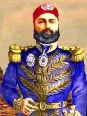
Regin of Abbas I of Egypt | Abbas Pasha I
Abbas has been often described as a mere voluptuary, but Nubar Pasha spoke of him as a true gentleman of the "old school". He was seen as reactionary, morose and taciturn, and spent nearly all his time in his palace. He undid, as far as lay in his power, the works of his grandfather, both good and bad.
Admin
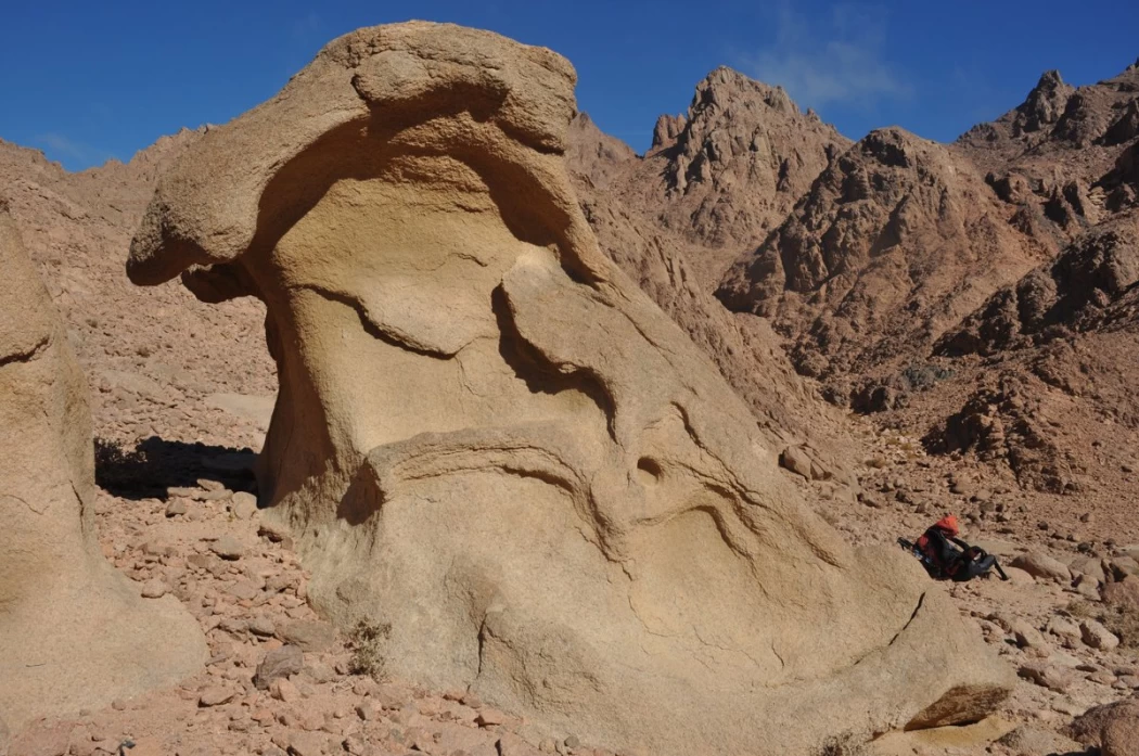
Story of Gabal Shayeb Al Banat - Red Sea Mountain
Jabal shayb al-banat is one of the Red Sea Mountains in the eastern desert in Egypt, located to the west of the city of Hurghada at a latitude of 27 degrees north and a longitude of 33.5 degrees east of the Greenwich line approximately, this mountain is the highest mountain peak in the eastern desert with a height of up to 2185 meters, it is a prominent mass of igneous rocks
Admin
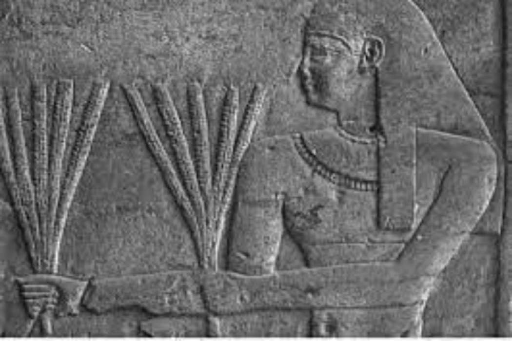
Neper God Of Grain
Neper was the deity of grains, particularly cereals that were important in Ancient Egypt, such as wheat and barley. It was stated that he foretold when the crops would grow, be harvested, and disappear.
Admin
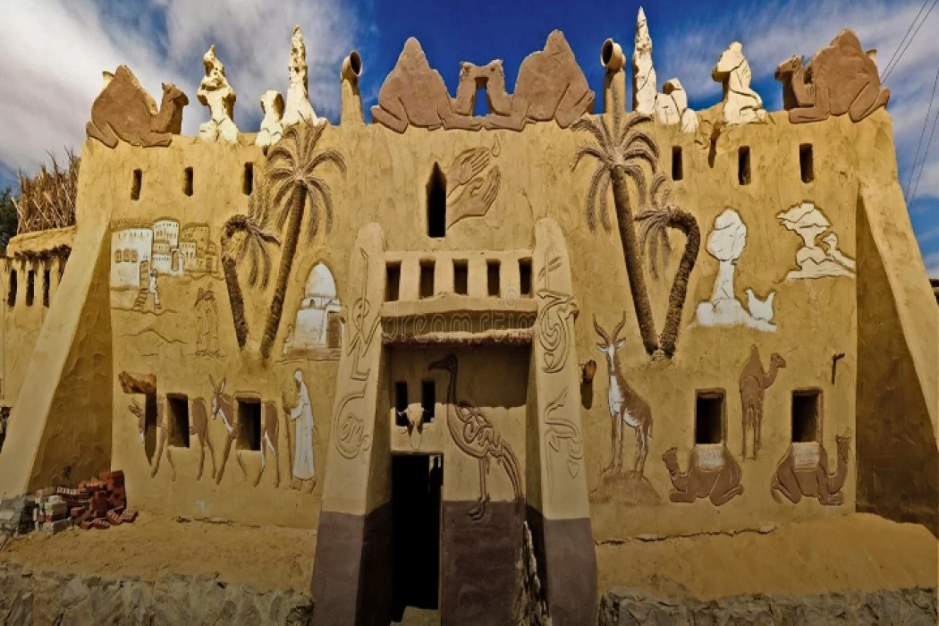
Badr Museum in Farafra
The Badr Museum is located in a mud building, which is the common home found in this medieval part of Egypt. All of the artwork that was created by the artist is quite unique. His work almost always depicts life in the Farafra Oasis and he provides the work through both painting and sculpting.
Admin
The Black Head Temple
The Black Head Temple is a small temple dedicated to the worship of the goddess Isis and was discovered in 1936, by chance, in the Black Head area, which is now located within the Mandara area of the Montazah district in Alexandria. This temple was moved from its original place to the Latin Necropolis in 1994.
Admin
The Queen Tetisheri
Tetisheri was the mother of Seqenenre Tao, Queen Ahhotep I, and possibly Kamose. For sure, she was the mother of Satdjehuty/Satibu, as attested on the rishi coffin of the latter. At Abydos, her grandson King Ahmose I erected a Stela of Queen Tetisheri to announce the construction of a pyramid and a "house" for Tetisheri.
