New Valley Governorate Egypt
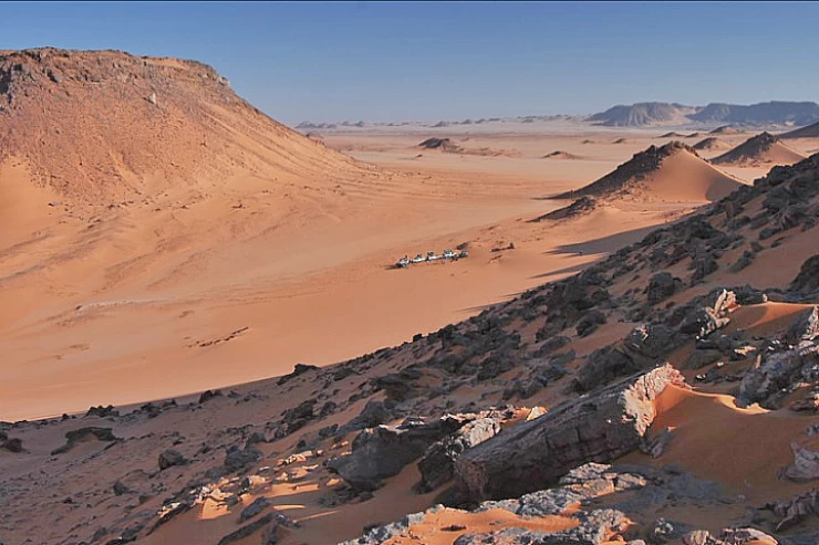
The New Valley governorate is the largest governorate in Egypt by area and the third largest in Africa, after Tamanrasset and Adrar in Algeria, and the second least populated governorate, after South Sinai.
Naming
Its name is due to the announcement by the late Egyptian President Gamal Abdel Nasser in 1958 of the beginning of the construction of a valley parallel to the Nile Valley penetrating the western desert for reconstruction and cultivation of the waters of the eyes and Wells to reduce the overpopulation in the Nile Valley, it was previously called the South governorate.
On October 3, 1959, the first reconstruction and reclamation convoy arrived in the New Valley and that day was considered a national holiday celebrated by the governorate every year. In 1961, the New Valley governorate was established within the administrative division of the governorates of the Republic, consisting of two administrative centers: Kharga and Dakhla. In 1992, Farafra became an administrative center, resulting in the governorate having three administrative centers. now the center of Paris and the center of Balat have turned into two administrative centers as well, and thus the governorate has five administrative centers.
History
The oases of Egypt have been known since ancient times, the Kharga Oasis was called the" great oasis", where it occupied a large depression in the desert, and its capital was hebes, whose name is derived from the word Hibat, meaning plow. The inner oases were called kenmat and its capital was (dis-dis), meaning (cut-cut), meaning cutting the land and splitting it for cultivation, and the Farafra was known as (Ta-aht), meaning the land of cows. Prehistoric man lived in the area about 5000 years ago BC.M. In the pharaonic times, the oases were of utmost importance because they were the first line of defense of ancient Egypt they were exposed to attacks by Nubians from the south and Libyans from the West, and the Pharaohs were interested in the tranquility and stability of the region and their traces appear in several areas in Kharga and Dakhla, when the Persian Cambyses invaded Egypt in 525 BC.M.
Her idol insulted the God Amon and his army of 50,000 fighters disappeared in the Great Sea of Sand, Dara I came after him, he tried to please the Egyptians so that his rule would be centered and the priests of the God Amon would be satisfied with him, so he began to restore and engrave some temples, including the temple of hebes, then the Ptolemies had their big role in the prosperity of Agriculture in the oases and the exploitation of their economies, and their traces appear along the Oasis trail on the way to Paris. When the persecution of the Copts of Egypt by the Romans began, many Copts fleeing their religion and Faith came to the oases and lived there by cultivating land, reaping its benefits. The role of Romans, who exploited the oases, appeared, built canals and exploited them for large-scale agriculture, trade flourished on the route of the Arbaeen trail connecting Egypt and Sudan through the oases, and it was an artery for trade, and their temples appeared along this path, the most important of which are the Goita temple and at Zayyan the dosh temple.
Location
The New Valley governorate is located in the south-west of Egypt in the western desert and is bordered to the East by the governorates of Minya, Assiut, Sohag, Qena, and Aswan, to the West by Egypt's borders with Libya, to the north by Matrouh governorates and the Bahriya oases of the sixth of October City and to the South by Egypt's borders with Sudan.
The area
The area of the governorate is 440,098 km2, equivalent to 44% of the total area of the Arab Republic of Egypt and about 66% of the area of the western desert, and this area includes three oases, Kharga - Dakhla - Farafra, which are five administrative centers in the governorate, they are (Kharga Center - Dakhla Center - Farafra center-Paris Center-Balat center) and the capital is Kharga.
The results of the general census in 1996 indicated that the population was 141,774 people, and the population growth rate was 2.3%. As for 2010, the population (188,252) was 50.5% urban and 49.5% Rural of the total population, with a population density of 0.5 per km2 and a populated area of 166 people per 1 km.
Population
The results of the general census in 1996 indicated that the population was 141,774 people, and the population growth rate was 2.3%. At the end of 2013, the population was 234,016, of which 105,589 were urban (50.4%) and 104,008 were rural (49.6% of the total population), with a population density of 1 person per 2 km2 and a populated area of 174 people per 1 km2.
Administrative division
Kharga Center, population: 83223.
The center of Paris, population: 12,000.
Center of Balat, population: 14425.
Dakhla center, population: 75356.
Center of Farafra, population: 24593.
As well as (5) cities are (Kharga - Paris - MUT - blat - Farafra). The governorate also includes (46) village local units, followed by (173) Main and subordinate villages.
Climate
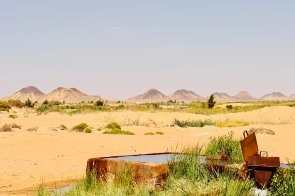
The New Valley governorate has a dry climate with warm summers and winters, rains are rare, and the governorate has the highest percentage of sunshine in the world all year round, which can be exploited as a renewable energy source.
Tourism
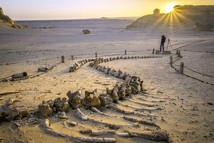
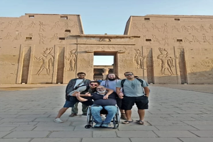
The province is characterized by the presence of monuments representing all historical eras, including Pharaonic, Roman, Coptic, Islamic, Persian, and Ptolemaic. It is characterized by the beauty of nature, tranquility, pure atmosphere, and bright sun, all of which are important tourist elements that have put it on the tourist map of Egypt.
Agriculture
Palm and dates-olives-oranges-wheat-apricots-manga-apples - alfalfa
Animal production
Breeding of cows and sheep
Industry
Handicrafts: porcelain - pottery - arabesque - kilim and carpets.
Food industries: dates packaging-sugar packaging-tomatoes-natural water packaging and packaging - dairy products - refining and packaging of olive oil.
Mining industries: Abu Tartour phosphate project.
Tombs of the pagodas
It is located behind the temple of hebes on the north side and is so named because it was built in the form of domes dating back to its creation when the Copts fled from the persecution of the Romans in the sixth century AD and settled abroad and felt safe, so they built their churches, which still exist today. Among them is the Church of the Exodus, which has drawings telling the story of the exodus of the Israelites from Egypt followed by Pharaoh with his soldiers, and some religious stories mentioned in the Koran and the Bible.after a while, after the Copts returned again, he and the pilgrims of the western route used it as breaks when they went to the Hajj, in which they wrote their memories and wrote poetry and prose. the number of these vaults is 263 tombs.
It is located north of the city of Kharga and the importance of this great temple is due to the fact that it represents different historical eras, namely the Pharaonic, Persian, Ptolemaic, and Roman, and it began to be built in the 26th dynasty in 588 BC.M. The temple starts from the vast space in front of it, which was known as the holy lake, then the marina, the Roman gate, the Ptolemaic gate, the Persian Gate, the courtyard of Nakhtanpo, the Hall of Twelve Columns, the transverse Hall, and finally the Holy of Holies.
The gate of the temple of hebes
The Hall of the twelve pillars of the temple of hebes
King Mina of Qatar is depicted in the temple of hebes
Al-Naura temple
It is located on the south-eastern side of the temple of hebes east of a road and is located on a high hillock and was so named because it was used in the Mamluk era for reconnaissance because it discovers the road from a great distance at altitude. This temple was built in the Roman era in the early century AD and still has the remains of hieroglyphs and bas-reliefs.
Goita temple
It is located 20 km south of the city of Kharga and was built to worship the god Amun and the death of khutsu from the twenty-seventh dynasty in 55 BC. The temple begins with the facade and has the inscription Ptolemy III wearing the crown of the tribal face on the south side and the crown of the sea face on the north side and an inscription shows the image of Ptolemy III and the temple ends with the Holy of Holies and on top of the temple there is one of the castles that were used to monitor the Oasis trail.
Dosh temple
It is about 113 km from the city of Kharga and 23 km from the village of Paris inside the desert.
The old gate
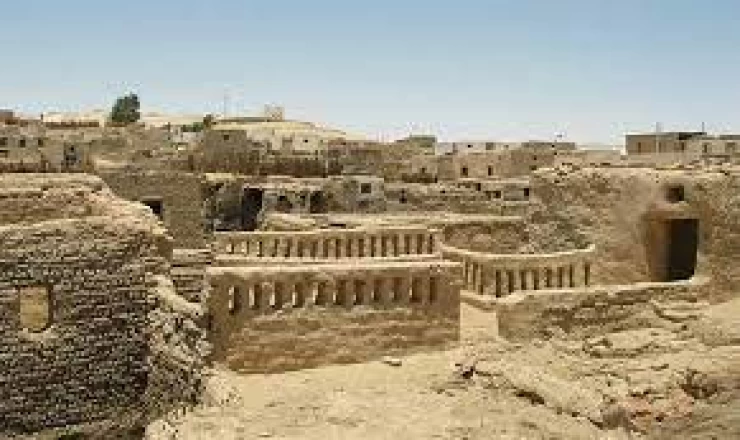
They are adobe buildings, their streets are narrow and winding, roofed with palm Dom Wood, and each street has a gate that closes when any aggression from the Bedouins occurs. It was built in the tenth century AD in an Islamic style, surrounded by water eyes such as (Ain Al-Dar) and represents the struggle of the people of the New Valley for hundreds of years.
Zayan temple
It is located south of the Goita Palace in the village of Qasr Al-Zayyan next to the village of Bulaq and dates back to Ptolemaic times. It was restored by the Roman Emperor Antonius Pius in 138 ad and this temple was established to worship the god Amun and the area around it was called (chmonempres) and at the end of the temple there is a compartment with some texts on it. The temple of Dosh: - it is located south of Kharga, about 113 km away from the village of Paris, 23 km inside the desert, and is located at the junction of the Oasis trail leading to Sudan and the Esna trail connecting Paris Esna. this temple was built in 117 AD and is located in the ancient oasis of dosh, and on its walls there are inscriptions and it seems that its vicinity is an important archaeological area.
Mubarak Public Library in New Valley
The largest libraries of the New Valley governorate and one of the most important branches of the Mubarak Public Library Project are located in the center of Kharga, the capital of the governorate, and in the average residential block of the city.
Tomb of the Unknown Soldier
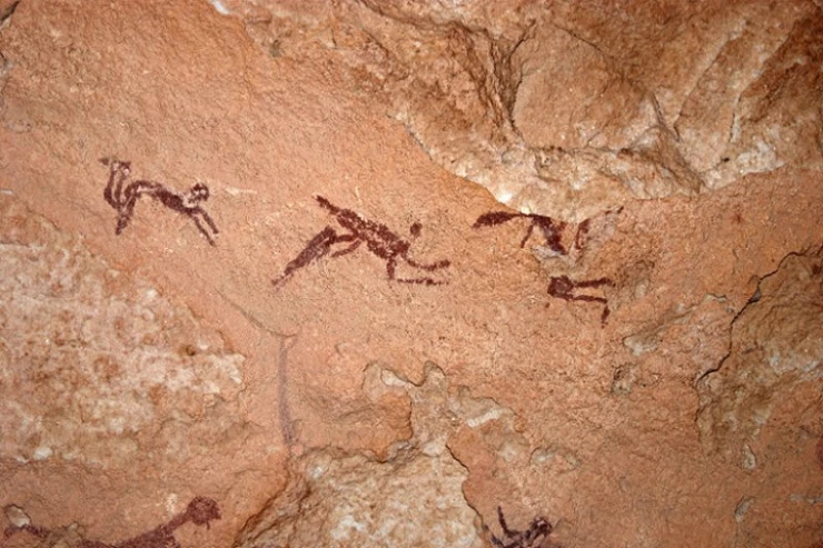
On the outskirts of the entrance to the Dakhla oases, where there are sand rocks that take many forms, the most important of which is the shape of a crouching camel, and these rocks contain scribbles of prehistoric man since about 5000 BC.M. The drawings depict man after he learned agriculture and animal husbandry, where palm trees and riding animals are depicted
Al-bashandi village
A small village whose dwellings were built in the Pharaonic style with green bricks and has an ancient temple buried in the sand, most likely from the Pharaonic 19th Dynasty and then restored during the reign of Ramses IX. there is also the Roman tomb of the rulers of this area since the first century AD and an ancient inscription telling about the mummification process and the trial of the deceased in the court of Osiris. In the village there is the Islamic tomb of Sheikh Bashandi, which was named after him and was used as a book to teach the Holy Quran to the children of the village. in the south of the village, there is a temple of spring, which is from the Roman era and was built of sandstone.
The effects of beshendi
There are ancient monuments in the village of Al-bashandi in the city of Balat, including ancient monuments such as the cemetery of ktianus, a sandstone cemetery with inscriptions representing death, embalming, resurrection, and reckoning, the Roman ruler was named after him, while the Islamic monuments are the cemetery of Sheikh Al-bashandi, which was also named after him. he was the sheikh of the village in Turkish times and his tomb was built from the stones of an ancient pharaonic temple that existed in the village and was used as a prayer and a book to teach the Holy Quran and the Arabic language and to calculate for the children of the village.
Tombs of the Pharaonic court
The tombs of the Pharaonic court are located in the city of court in the New Valley, one kilometer from the old Islamic village of court, where there are six terraces on which some buildings of other Roman tombs and tombs of the sixth Pharaonic dynasty have been raised since 2420 BC.M. It has the Tomb of the governor of the region and two small obelisks.
The ruins of the Islamic village of Balat, which is a village located above a high hillock, its streets are narrow and roofed with Dom and palm wood, divided into streets for families. The village dates back to the Turkish era and is built on a High Knoll, its streets are narrow and roofed with Dom, palm, and acacia wood, and there are wooden panels at the entrances inscribed with the name of the building, the date of construction and verses from the Holy Quran.
Ancient MUT
The capital of the Dakhla Oasis is named after the (dead) wife of the god Amun, a valuable city from the Pharaonic era, in the center of which there are still some stone temple ruins, and 200 km away is the famous water painting dating back to the twenty-second dynasty in 1000 BC.M.
Al Qasr Islamic village
It is a village located north of Dakhla and was the first village to receive Islamic tribes in the oases in the year 50 Hijri with the remains of a mosque from the first century Hijri and flourished in the Ayyubid era and was the capital of the oases with the governor's Palace, the origin of the name is one of the entrances to the old Islamic palace called (the fortress) and flourished in the Ayyubid era with the governor's Palace and a minaret of the remains of a mosque, which consists of three floors with a height of 21 meters.it also has several mosques from the Turkish and Mamluk era and there is a gate in the form of a temple to the god Thoth used as an entrance to one of the houses.
Mazooq tombs
It is located at a distance of 5 km from the palace and 37 km from the city of (MUT) Dakhla and has a paved road, which is a coward dating back to the Roman era and includes tombs carved in the rock with bright inscriptions representing the goodness of oases, including the God of Agriculture, the God of water, barley and palm plantations, birds, mummification, calculation and punishment, discovered in 1973 by Dr. Ahmed Fakhri, with two tombs for two people, one Badi Uzair and the other Badi Bastet.
Latest Articles
Admin
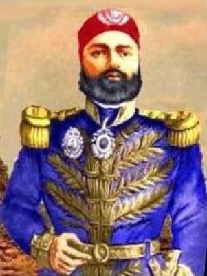
Regin of Abbas I of Egypt | Abbas Pasha I
Abbas has been often described as a mere voluptuary, but Nubar Pasha spoke of him as a true gentleman of the "old school". He was seen as reactionary, morose and taciturn, and spent nearly all his time in his palace. He undid, as far as lay in his power, the works of his grandfather, both good and bad.
Admin
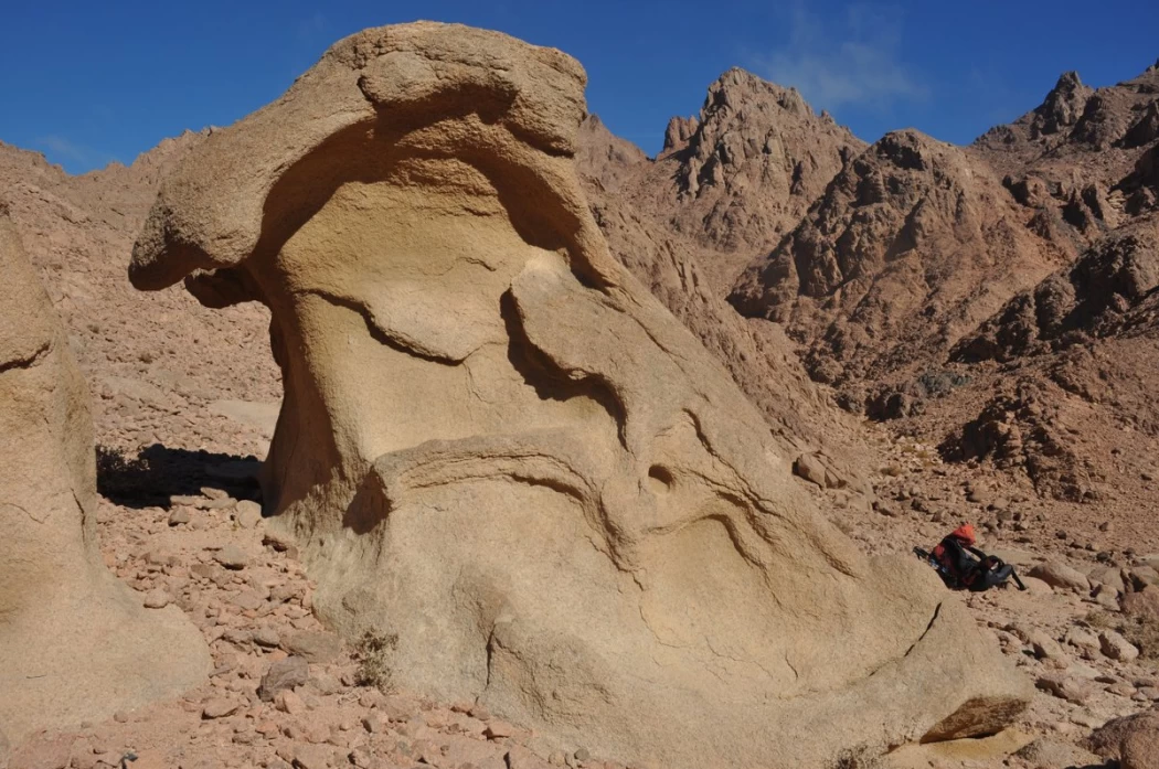
Story of Gabal Shayeb Al Banat - Red Sea Mountain
Jabal shayb al-banat is one of the Red Sea Mountains in the eastern desert in Egypt, located to the west of the city of Hurghada at a latitude of 27 degrees north and a longitude of 33.5 degrees east of the Greenwich line approximately, this mountain is the highest mountain peak in the eastern desert with a height of up to 2185 meters, it is a prominent mass of igneous rocks
Admin
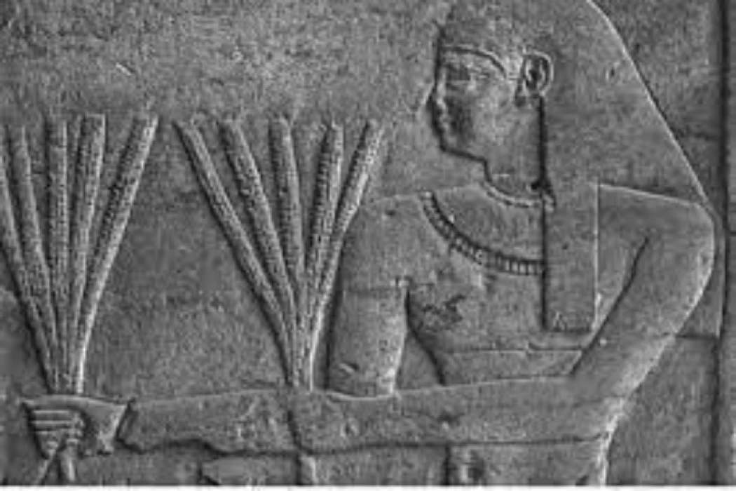
Neper God Of Grain
Neper was the deity of grains, particularly cereals that were important in Ancient Egypt, such as wheat and barley. It was stated that he foretold when the crops would grow, be harvested, and disappear.
Admin
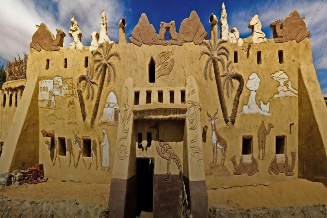
Badr Museum in Farafra
The Badr Museum is located in a mud building, which is the common home found in this medieval part of Egypt. All of the artwork that was created by the artist is quite unique. His work almost always depicts life in the Farafra Oasis and he provides the work through both painting and sculpting.
Admin
Djoser
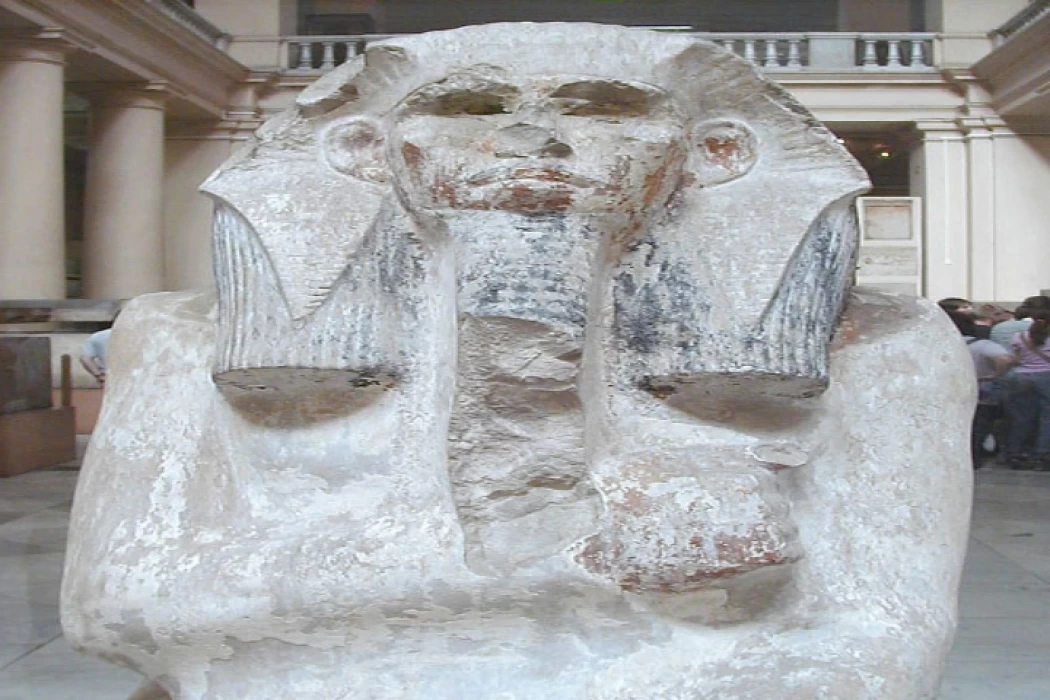
Djoser was an ancient Egyptian pharaoh of the 3rd Dynasty during the Old Kingdom and was the founder of that epoch. He is also known by his Hellenized names Tosorthros (from Manetho) and Sesorthos (from Eusebius). He was the son of King Khasekhemwy and Queen Nimaathap, but whether he was also the direct successor to their throne is unclear. Most Ramesside king lists identify a king named Nebka as preceding him, but there are difficulties in connecting that name with contemporary Horus names, so some Egyptologists question the received throne sequence. Djoser is known for his step pyramid, which is the earliest colossal stone building in ancient Egypt
Admin
Kom Al Dikka Alexandria
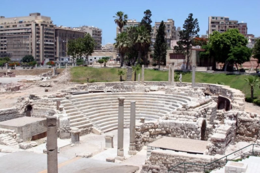
Kom El Deka, also known as Kom el-Dikka, is a neighborhood and archaeological site in Alexandria, Egypt. Early Kom El-Dikka was a well-off residential area, and later it was a major civic center in Alexandria, with a bath complex (thermae), auditoria (lecture halls), and a theatre.
