Ghoroud Samuel Fayoum
Temple Nadora, oasis de Kharga
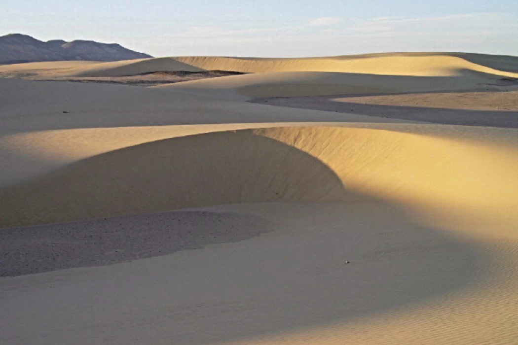
The area is one of the most diverse areas in the types of grooves and is also close to Cairo. This area is suitable for a one-day trip to car clubs (4×4 car). But not suitable for camping, is located in the Egyptian Western Desert (part of the Sahara Desert in North Africa), some parts of which are covered in groups (sand dunes) between lakes and mountains, With some rocks and penetrated by small rocky plateaus in some areas.
Ghoroud Samuel Road: Entrances to any area start with an exit point from a specific road that leads to a long or short path into the “playing” area in the heart of the clouds. Exit points are often called "trailheads".
In the case of Ghoroud Samuel, its northern entrance is from Wadi Al-Rayyan Road, which penetrates the Ghorod itself in its far north, which makes the play begin immediately after leaving the road on the heads of the pestles. This entrance also represents the shortest path ever from Cairo to the play area. Specific entrances must be adhered to, either Entrance 1, Entrance 2, or Entrance 3, as will be shown later, according to the level of the trip and the skills required in it. Entering from other than these entrances to reach the area of the high cloud will be a great difficulty due to the presence of low trees with roots that can puncture tires, and there are sabkhas that can stop cars and bury them. WARNING: Entering without evidence from clubs and leaders from good clubs may result in the loss of your vehicle or death. Please adhere to the rules of driving the 4x4 responsibly.
Ghoroud Samuel area borders
From the North: The southern end of Wadi El Rayan Lower Lake and Wadi El Rayan Road, From the south: Mount Issis, From the east: It is bordered by Mount Qalamoun and the Monastery of Anba Samuel the Confessor in what is called Wadi Muwailih, From the west: it is bordered by Al-Manaqir Al-Qibli Mountain. Types of grouse: The type of "sword" is known (with sharp cutting) and appears in yellow color on the map, and the other is round (Dahr al-Hout) and is light brown in color. Both are called "longitudinal" and always run with the wind from the north (slanting to the west) to the south.
The type of "sand sea" (or as the complex is called) appears in green on the map and has mixed crests in length and width, dividing the field into a group of bays of different depths. A crescent moon appears in purple color on the map, as its horns always point to the south in the direction of its movement with the air.
Latest Articles
Admin
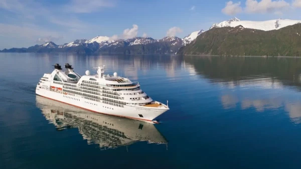
Seabourn Sojourn Cruise Stops in Safaga Port
The Seabourn Sojourn, the flagship vessel of Seabourn Cruise Line's ultra-luxury fleet, was built in 2008 at the T. Mariotti shipyard in Genoa, Italy. Measuring 198 metres, it can accommodate up to 450 guests in its 225 spacious all-suite staterooms.
Admin
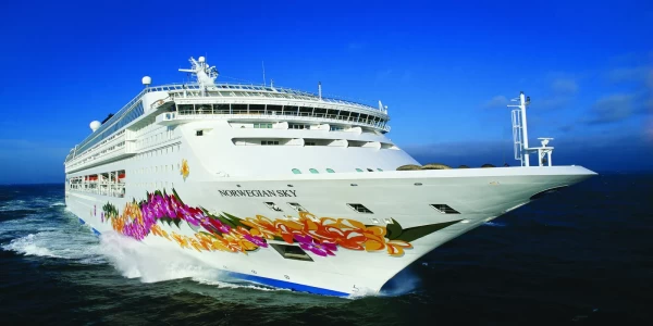
Norwegian Sky Cruise Stops in Safaga Port
Norwegian Cruise Line operates a cruise ship called the Norwegian Sky. It was constructed in 1999 and can accommodate 2,004 passengers in addition to 878 crew members. The ship has several dining establishments, lounges and bars, a spa and fitness center, swimming pools, and a number of entertainment areas.
Admin
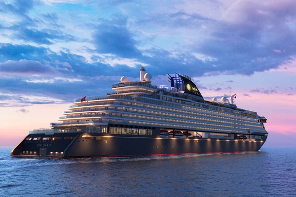
Explora II Cruise Stops in Safaga Port
Explora II, the second vessel in the Explora Journeys fleet, sets sail in 2024 to redefine luxury cruising. With 461 ocean-front suites, 9 culinary experiences, and 4 pools, this haven of sophistication and sustainability promises an unforgettable "Ocean State of Mind" journey to inspiring destinations.
Admin
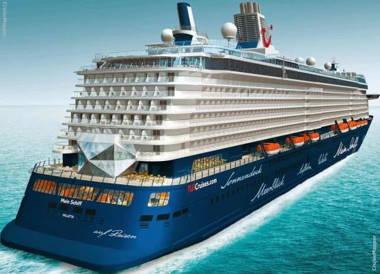
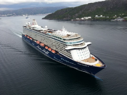
Mein Schiff 6 Cruise Stops in Safaga Port
The Mein Schiff 6 is the latest cruise ship in the renowned TUI Cruises fleet, offering passengers a luxurious and sophisticated cruise experience. At 315 metres long, this floating resort features a range of dining options, entertainment, and recreational facilities, including a spa, fitness centre, and sports amenities.
Admin
Mein Schiff 4 Cruise Stops in Safaga Port
When the Mein Schiff 4 cruise ship docks in Safaga, Egypt, passengers are granted access to a realm of ancient wonders. Aboard this state-of-the-art vessel, guests can embark on meticulously curated shore excursions that showcase the region's most iconic landmarks, including the Giza Pyramids, the enigmatic Sphinx, and the remarkable tombs and temples of the Valley of the Kings in Luxor.
Admin
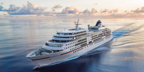
MS Europa Cruise Stops in Safaga Port
The Silver Moon, Silversea's latest flagship, is a luxury cruise ship that offers an exceptional travel experience for Venezuelans exploring Egypt. With a capacity of 596 guests and an impressive 40,700 gross tonnes, the Silver Moon maintains the small-ship intimacy and spacious all-suite accommodations that are the hallmarks of the Silversea brand.
